Old Skeletons & New Trails
THE MOHAVE INDIAN TRAIL
Topiabit Rancheria was located on an ancient Indian trail used by the
Mohave
and
Chemehuevi
Indians from the
Colorado River
area on their trips to conduct trade with others along the Pacific Coast. The first European to learn of the trail was
Father Francisco Garces
in 1776.
Pedro Fages
had entered the area four years earlier while chasing Indians who had run away from the Mission San Diego, but
it was Garces who first used the old Indian route across the desert.
The Mohave Indian Trail, as it was later known, utilized the scant water resources available in the desert, and
without knowledge of its route, a trip across the eastern Mojave would have been hopeless. Coming from the
Colorado River, the trail connected various springs until it reached the
Mojave River,
at which point it continued up-river to Sawpit Canyon and thence over the mountain range. It remained an
important trade route for the Indians for 75 years after Garces learned of its existence, and it was also
used by the
Spanish
for missionary purposes and for military expeditions against the Indians.
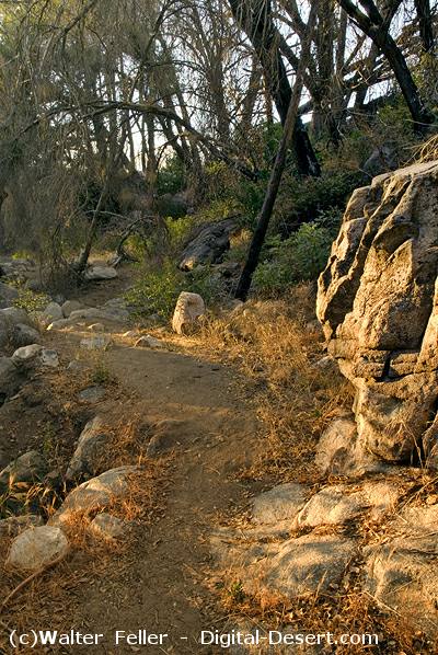 The trail at the bottom of Sawpit Canyon